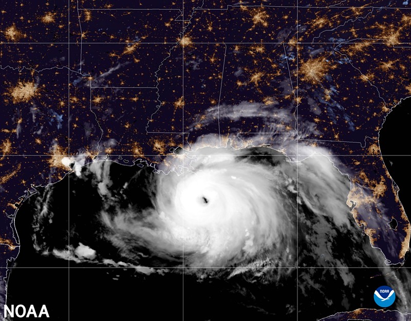
The Atlantic hurricane season stretches from June 1 to November 30, and NOAA’s climate prediction center says there is a 65% chance this year will be above average with 14-21 named storms, 6-10 hurricanes and 3-6 major hurricanes.
What does this mean for Dallas? Hurricanes can displace millions of people, and Houstonians and Galvestonians have had a tendency in the past to migrate to Dallas after one hits.
Hurricane Harvey damaged hundreds of thousands of homes in 2017, and a year after the hurricane 8% of the people still could not return to their homes.
Some fled to North Texas and lived in homeless shelters before choosing to make Dallas their permanent home.
But with an already stretched Dallas housing market, Dallas homeless shelters might have to take the brunt of any evacuating populations.

A summary infographic showing hurricane season probability and numbers of named storms predicted from NOAA's 2022 Atlantic Hurricane Season Outlook.
NOAA
“Simply put, El Niño favors stronger hurricane activity in the central and eastern Pacific basin, and suppresses it in the Atlantic basin,” explained Gerry Bell in a climate.gov blog post. “Conversely, La Niña suppresses hurricane activity in the central and eastern Pacific basins, and enhances it in the Atlantic basin.”
The NOAA press release notes multiple other factors in the increased hurricane risk: warmer-than-average sea surface temperatures in the Atlantic and Caribbean Sea, weaker tropical Atlantic trade winds and an enhanced West African monsoon — an effect which seeds “many of the strongest and longest lived hurricanes during most seasons.”
“We have also not had a robust El Niño during any August-Sept-October since 2015, so that has also contributed,” wrote Matthew Rosencrans, NOAA's lead hurricane outlook forecaster in an email response. “The last 3 years, the outlook has had about a 60% chance of above normal activity, and they have all had above normal activity. Since 2008, our outlooks have been correct (the range of named storms, hurricanes, major hurricanes, and total seasonal activity) 67% of the time.”

A summary graphic showing an alphabetical list of the 2022 Atlantic tropical cyclone names as selected by the World Meteorological Organization. The official start of the Atlantic hurricane season is June 1 and runs through November 30.
NOAA
The tools NOAA uses to aid them in their predictions include supercomputing systems, multiple models and forecasting systems, surface vehicles, ocean gliders, drones and other aircraft.
But just because Dallas is not on the Gulf of Mexico, it isn't completely out of harm's way. The National Weather Service has a list of 35 tropical storms and hurricanes that have affected North Texas since 1871, the latest being Tropical Storm Bill in 2015.
“Almost every hurricane season has at least 1 landfall in the Gulf Coast, and active years have more (on average),” Rosencrans wrote.
“Prepare now by making a plan, updating insurance, gathering supplies, identifying how you and your family will receive information (Cell phone networks often become unreliable after hurricane landfalls), and potentially even rehearsing your plan. A prepared family is a safer family,” he continued, speaking primarily to Gulf residents, but applies for any family in the path of hurricane.
But even if Dallas won’t get hit with a storm itself, it could see the fallout of evacuees from the places that are, fallout which could last for over a year or more.
“The past seven years have had a lot of landfalls, especially along the gulf coast with 2020,” Rosencrans wrote. “The biggest takeaways are that more storms means more chances for bigger impacts, and that preparing now can have a dramatic impact on your safety and security when a storm approaches.”


